

The UK’s Most Accessible Hikes by Train

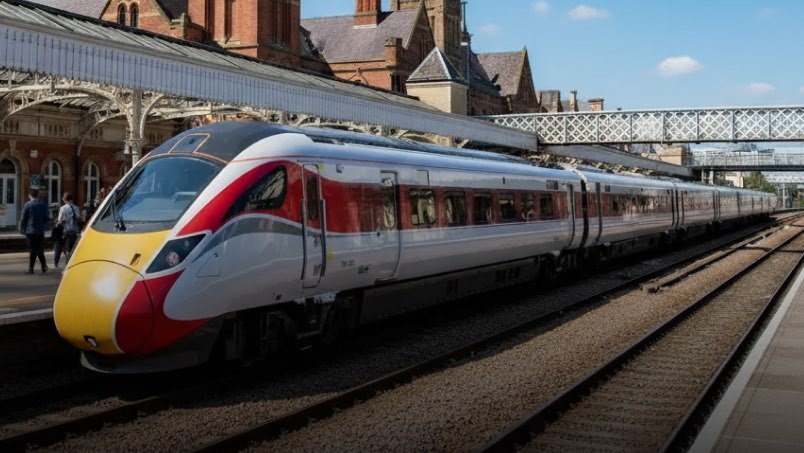
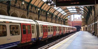
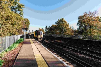
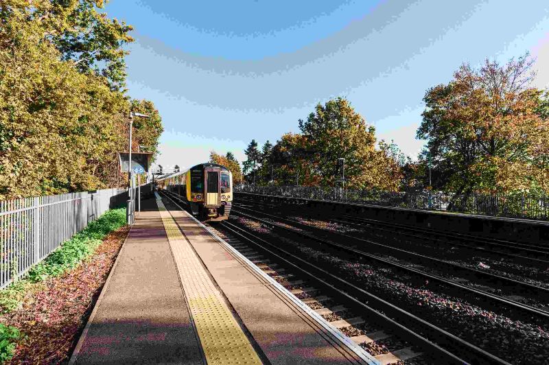
Both hiking and train travel are growing in popularity, with more people looking for simple, stress-free ways to get outdoors and explore. Trains make it much easier to plan a day trip, especially for those who don’t have a car or are looking for a more sustainable way to see the UK.
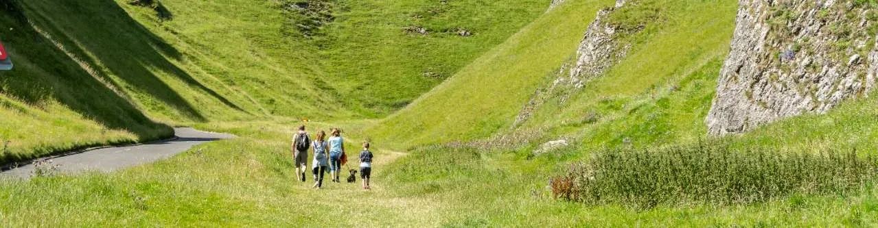
However, many of the best-known hiking spots are becoming increasingly crowded, pushing adventurers to seek out new routes that are just as beautiful but less busy. With quieter paths and shorter journeys now priorities for many, the appeal of easily accessible hikes is stronger than ever.
So, it’s with this in mind that we set out to rank the top ten UK hiking trails that are the easiest to reach by train. Analysing factors such as typical journey length, train frequency, the number of required changes, and estimated CO₂ savings, we ranked each route based on its accessibility for rail travellers. We also considered trail ratings and nearby amenities, including the proximity of top-rated cafes and pubs. The result? A list of scenic, sustainable hikes to try next time you’re feeling adventurous!
Top ten train-accessible hiking trails
From hidden gems in Knaresborough to the Peak District’s iconic views, here’s a rundown of our top ten train-accessible hikes.
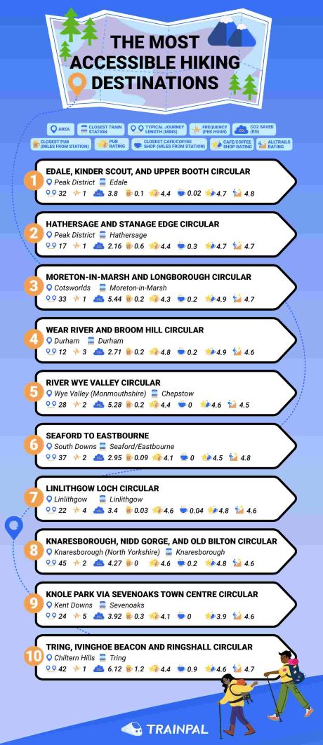
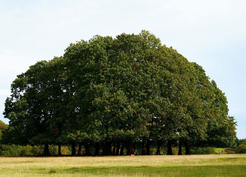
1. Edale, Kinder Scout, and Upper Booth Circular
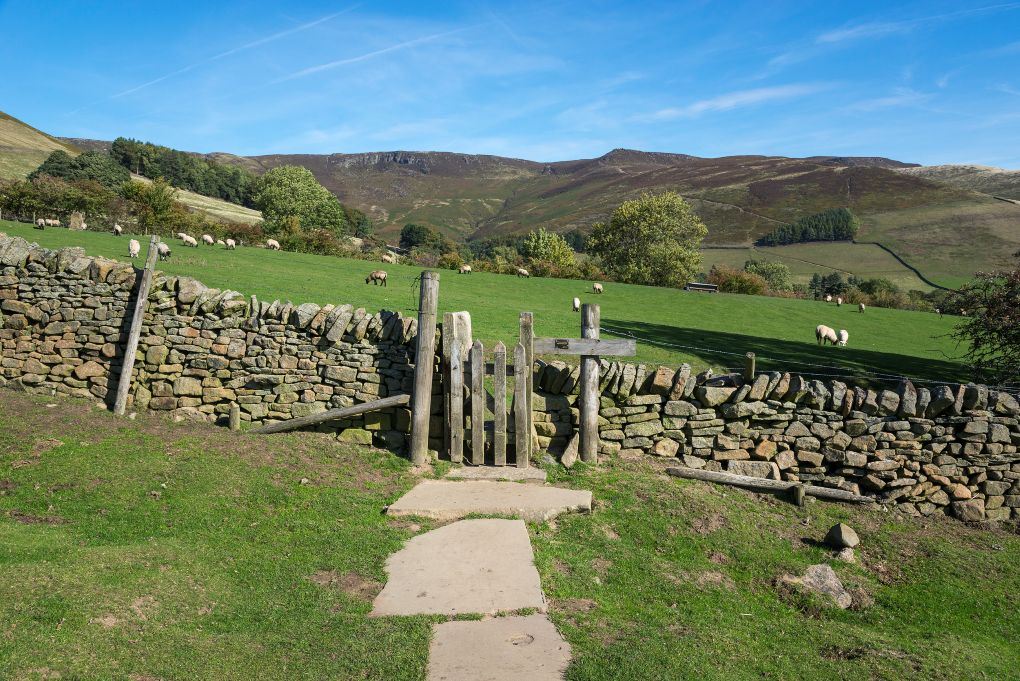
The trail has an overall rating of 4.8 from 3,051 reviews, making it one of the most popular on our list. What’s more, the closest pub (The Rambler Inn) is just 0.1 miles from the station, and it has an average rating of 4.4. The Penny Pot Café is even closer (just 0.02 miles), meaning you can grab a bite to eat as soon as you leave the station!
The Edale, Kinder Scout, and Upper Booth Circular hike has an overall score of 69.07 out of 100, with hikers enjoying the lush farmland and steep, rocky scrambles.
2. Hathersage and Stanage Edge Circular
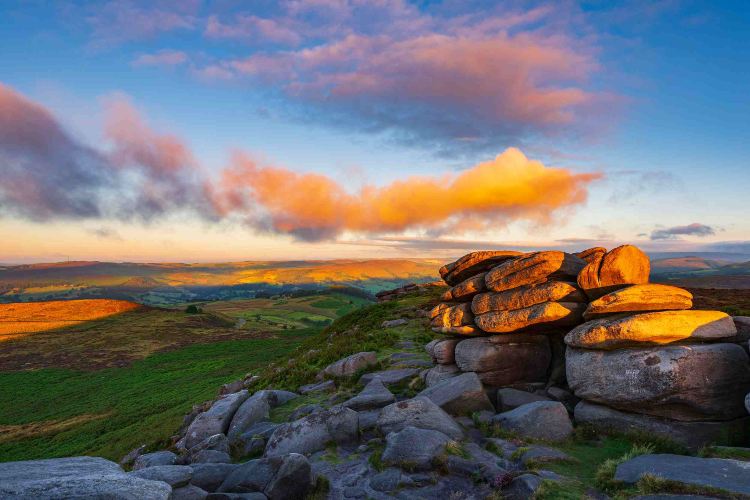
Stanage Edge Circular hike has a similarly high AllTrails rating of 4.7 (from 2,740 reviews), with people praising its sweeping Hope Valley views and rugged gritstone cliffs. If you want to grab a refreshment before or after, the Riverside Kitchen is only 0.3 miles from the station, and it has an overall rating of 4.7.
3. Moreton-in-Marsh and Longborough Circular
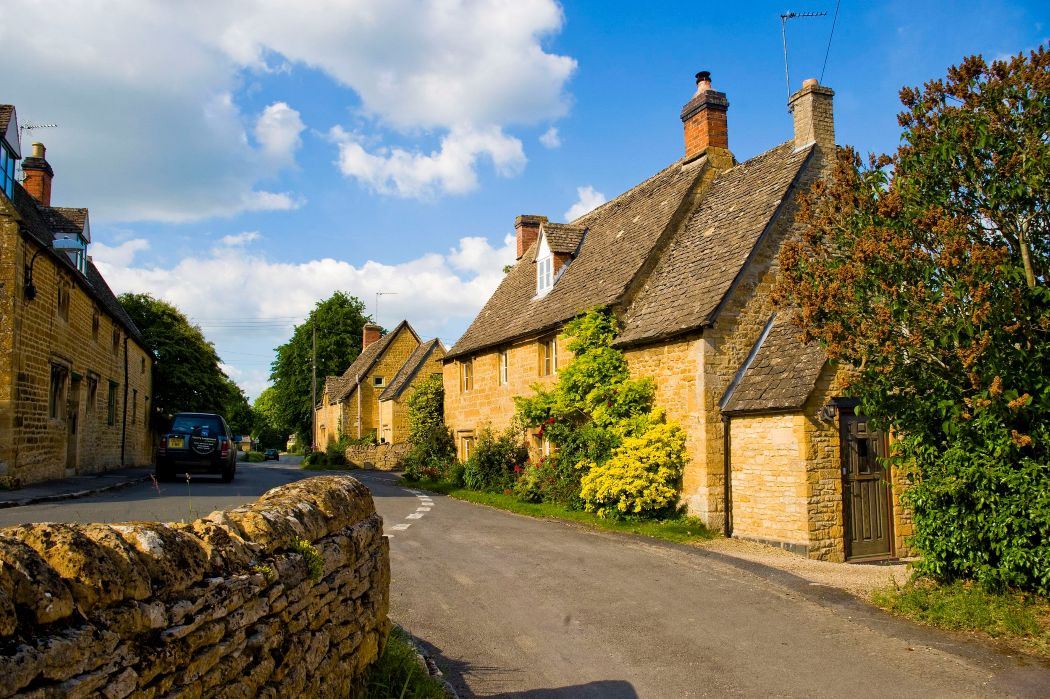
The hike has an AllTrails rating of 4.7, and The Bell Pub is just 0.2 miles from the station. This makes it super easy to plan a full day out, meals included, without a car. Even better, you’ll be saving 5.44kg CO₂ if you make the journey by rail.
4. Wear River and Broom Hill Circular
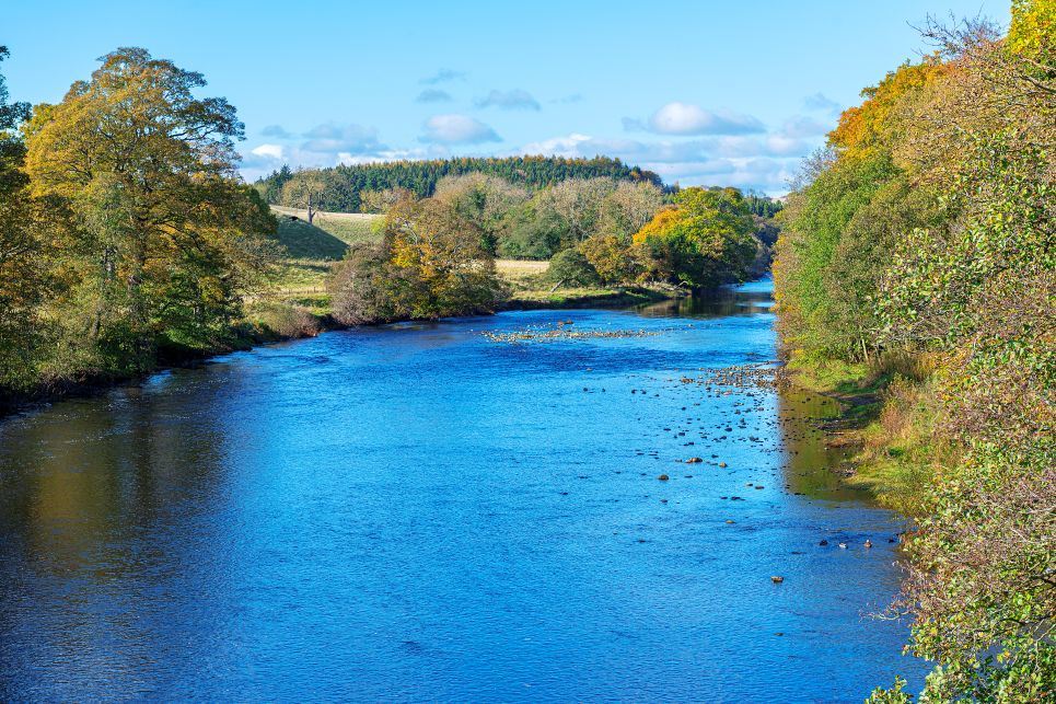
This gentle route on the edge of Durham City is popular with dog walkers and families, typically taking around 1 to 1.5 hours to complete. With an AllTrails rating of 4.6 and the highest pub rating on our list (The Station House with 4.8), it’s definitely one to give a go.
5. River Wye Valley Circular
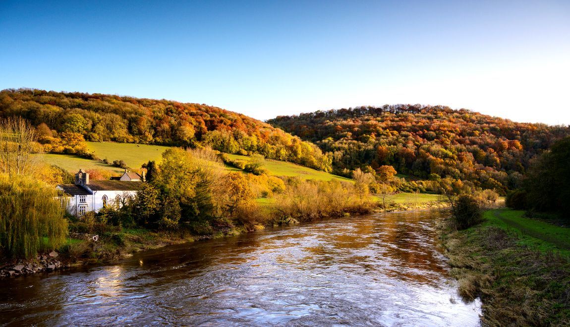
In the Wye Valley (Monmouthshire), you’ll find the River Wye Valley Circular route with its impressive gorge scenery and ancient woodlands. This hike has an AllTrails rating of 4.5 and an overall score of 60.61.
6. Seaford to Eastbourne
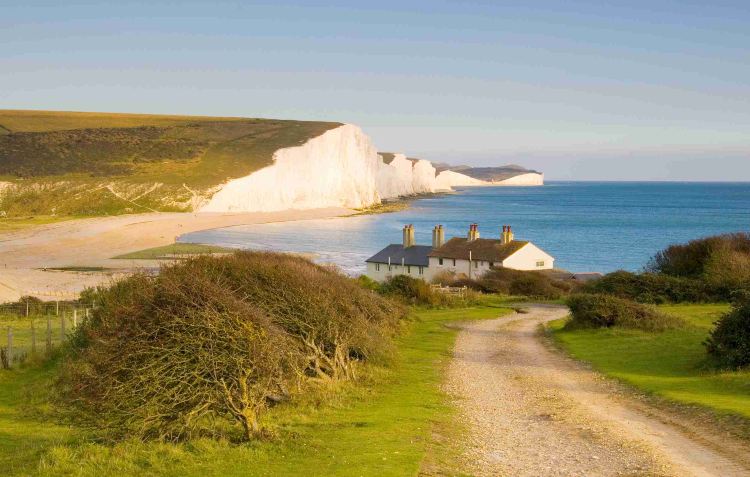
This is the only point-to-point hike on our list, and it features the iconic sweeping white chalk cliffs of the Seven Sisters. So, if you love dramatic coastal scenery, this is the spot for you. With 2,464 reviews and a rating of 4.8, people love the fact that you can end your hike with a dip in the sea or traditional fish and chips in Eastbourne.
7. Linlithgow Loch Circular
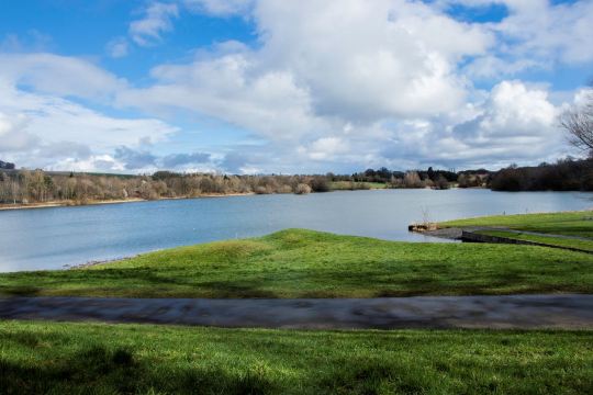
With level terrain, it’s an accessible, scenic route that combines rich local history with stunning wildlife. Linlithgow Loch Circular is also particularly great if you’re hoping to grab a drink and a bite to eat, with the closest pub, Platform 3, just 0.03 miles from the station. This also has one of the highest ratings on our list, at 4.6!
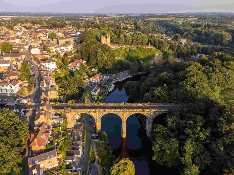
8. Knaresborough, Nidd Gorge, and Old Bilton Circular
9. Knole Park via Sevenoaks Town Centre Circular
With the opportunity to see a 1,000-acre medieval deer park and the Tudor Knole House, there’s no surprise this one made its way onto our list. The Halfway House Pub is also a great stop-off point, with an average rating of 4.1.
10. Tring, Ivinghoe Beacon and Ringshall Circular

Featuring historic ridgeway trails and expansive panoramic views, this is the perfect hike to round off our list.
Hop on a train and explore the UK
Methodology
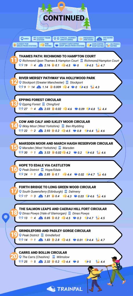
This dataset ranks 33 hiking trails, based on how accessible they are for people travelling by train. To do this, 10 different individual factors were used. Once the data for the factors were collected, the factors were then normalised to provide each factor with a score between 0 and 1. If data were not available, a score of 0 was given. The normalised values were then summed and combined to give each hiking trail a total score out of 100. The hiking trails were then ranked from highest to lowest, based on their total scores. The factors used are as follows:
Typical Journey Length – The most common train journey duration between the hiking route’s closest station and the origin hub station, using the time for a direct journey where possible. For point-to-point routes, journey length is based on the closest station to the start of the route for simplicity.
Train Frequency – The average number of comparable-duration departures per hour between the hiking route’s closest station and the origin station, based on Friday services across multiple departure windows.
Train No. of Changes – The number of changes required for the journey between the hiking route’s closest station and the origin station, where “-” indicates a direct train.
CO₂ Saved – The estimated CO₂ saved by travelling via train instead of driving.
AllTrails Rating – The average user rating for the hiking trail.
No. of Trail Reviews – The total number of reviews received for the hiking trail.
Distance to Closest Pub – The distance from the hiking route’s closest station to the nearest pub. For point-to-point routes, this is based on the pub nearest to the station at the end of the route.
Closest Pub Rating – The average rating of the closest pub to the hiking route’s nearest train station.
Distance to Closest Café/Coffee Shop – The distance from the hiking route’s closest station to the nearest café or coffee shop. For point-to-point routes, this is based on the café or coffee shop nearest to the station at the end of the route.
Closest Café/Coffee Shop Rating – The average rating of the closest café or coffee shop to the hiking route’s nearest train station.
The factors were weighted as follows:
Typical Journey Length – 15%
Train Frequency – 10%
Train No of Changes – 10%
CO₂ Saved – 20%
AllTrails Rating – 12.5%
No of Trail Reviews – 12.5%
Distance to Closest Pub – 5%
Closest Pub Rating – 5%
Distance to Closest Café/Coffee Shop – 5%
Closest Café/Coffee Shop Rating – 5%
The factors were indexed as follows:
Train Journey Length & No of Changes – Lower is better
Distance to Closest Pub & Café/Coffee Shop – Lower is better
All Other Factors – Higher is better
All data is correct as of 22/05/26. The ranking data shown is a compilation of multiple data sources and may not be representative of real life.


- Top ten train-accessible hiking trails
- Hop on a train and explore the UK
- Methodology
Ready to plan your trip?


 New user welcome pack